|
<< Click to Display Table of Contents >> 3D Earth |
  
|
|
<< Click to Display Table of Contents >> 3D Earth |
  
|
The 3D Earth Image (3DEarth) is an icon that displays gis map information through a three-dimensional image. It is suitable for displaying data migration between different geographical locations. The display effect is more cool than the traditional gis map.
❖Create a 3D Earth
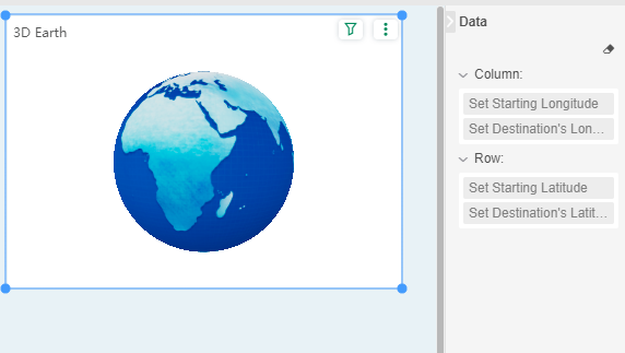
To create a 3D earth map, you can drag the 3D earth map component to the report editing area in the component of the right pane. The penalty latitude and longitude of the migration data and the target latitude and longitude are bound to the corresponding positions, as shown in the following figure.

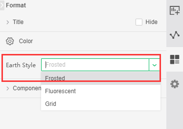
After creating a 3D earth map, you can set the 3D earth style in the right pane, as shown below:

You can customize the color information of the block in the regular-segment of the right pane, refer to the funnel chart.